Aug. 3 - 4, 2007 (photos)
So we had this great idea about how we could get a climb of Mt. Adams squeezed in after our June problems. What we'd do is leave work on Friday, drive down to the south climb trail head, sleep a few hours on the picnic tables and then do a car-to-car. "What a good idea," we thought.
But, due to circumstances, it didn't exactly go like that. Early Friday afternoon, I was out looking at some houses around Sammamish. I had no intention of finding anything, but...well, you get the idea. Anyway we ended up at the Mercer Island Starbucks at 9:00PM signing offer papers.
9:00 PM - on the freeway! Hooray!
Because the Randle to Trout Lake road is closed you have to drive down to Oregon, then over to Hood River and then back north to the Trout Lake Ranger Station.
[insert road trip music here]
3:20 AM - on the trail!
Trying to quietly creep out of the Cold Springs campground was a tough thing in my stupid double-plastics. Squeek...squeek...squeek... To any of you who were trying to sleep, I'm so sorry.
I will say that the 2 miles through the woods is sure a lot nicer in the dark. Just a nice quite stroll in the woods. Now the visions of sudden big foot attacks or alien abduction aside, I was ready with my mad ice axing skills.
I have never seen the South Spur without snow. I was surprised that the trail actually goes right up onto the spur with no actual "climbing" required. This was a huge improvement over the excitement of the June adventure. 
Anyway, we arrived at the 8,000 ft. camp around 6:00 and stopped to ditch the headlamps, eat some yummy yummy Goo brand food-like-substance, and take some nice pictures of the sunrise. For those of you have have never seen this route in late summer, this is where the snow field "usually" starts. But NOT TODAY! No water, no snow, just us whining about the lack of snow and water.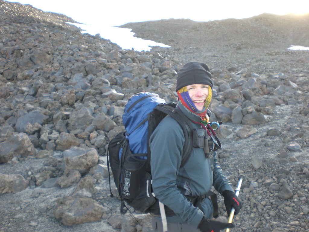
Another few hundred feet of rock and sand travel was required to get on to the snow. YAY! Here's a picture of Cale enjoying the idea that the scrambling will end soon. Note sunrise appearing as we get closer to some actual snow!
The snow was a welcome change, but the previous month of melt/freeze left the surface the consistency of concrete and the traffic of the previous day made travel conditions the opposite of "nice and smooth".
7:00 AM - Lunch Counter
The site of running water made our morning! We refilled the water bottles carefully using our Magic Water Stir Stick(tm) ($130 at your local REI) and dropping the the Alkaseltzer err... Nuun tablets. Umm...
1/2 hour of magic stick stirring and yet more yummy Goo brand food-like substance later we set off onto the actual mountain: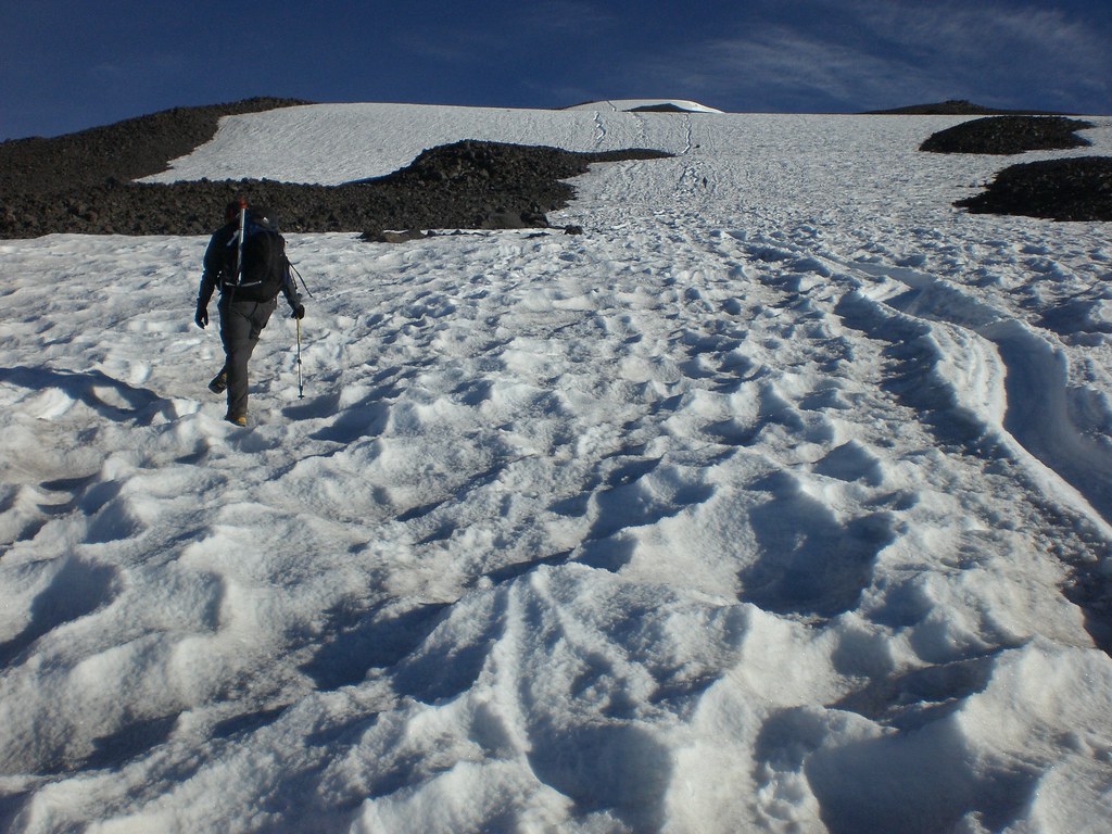
8:00 AM: 10,000 ft. Time for the spikes
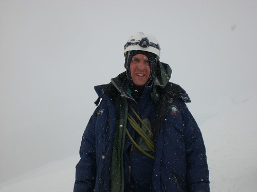
Refreshed by our magically cleaned fizzy-water we cramponed-up and stared the slow ascent of Pikers Peak! This is a slow, but kind of relaxing bit of climbing. You get a lot of chance to talk to the other folks making their way up and any number of opportunities to tuck into another batch of everyone's favorite: GOO!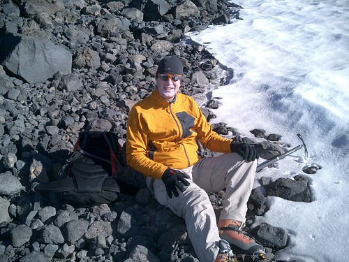 Conditions we're nice, a gentile (1 - 2 knot) breeze down-slope kept the gloves on and the temperature just right. Snow conditions continued somewhere between rock-hard and ice.
9:30 AM: Top of Piker's Peak!
This is my favorite part of the mountain! You can finally see the top, its colder, and for the first time in a couple hours you can look around without having to watch for someone else's flying water bottle.
Of course, its also around 11,000 ft and took us almost 6 hours of hiking to get here and we've now been up for about 27 hours. So we're also pretty tired (also due to general fat-ness and early couch-season results).
But we made it this far, took another quick break for magic stir stick water, crackers, poptarts, beef jerky, and yummy yummy Goo.
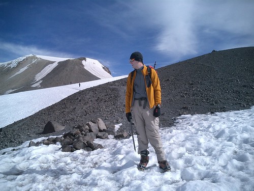
10:00 AM: Across the summit and ready to go the final bit
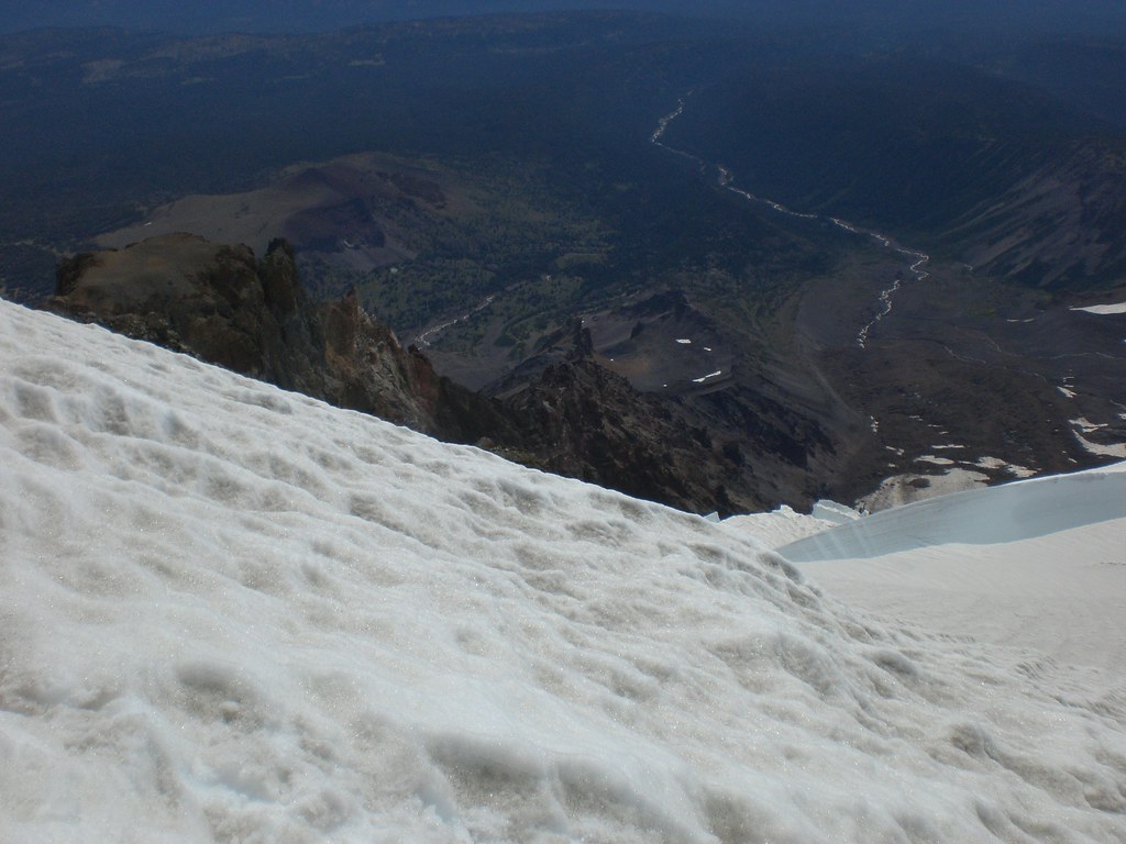
The route was a little different than I had seen before; the trail went way over climber's right above the east-side glaciers. My geography of this side isn't great, but I think we were looking straight down the Klickitat and Mazama Glaciers. The views over the glacier are spectacular.
 Twenty minutes of climbing around this shoulder brought us to the summit . This is actually a view across the crater. Not as impressive as Rainier, or as active as Baker, but a welcome site!
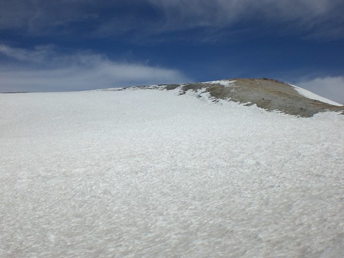
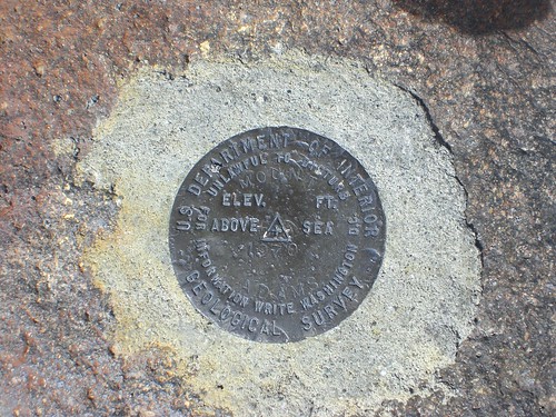
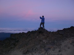
A few minutes around the rim and we're standing on top of the summit marker.
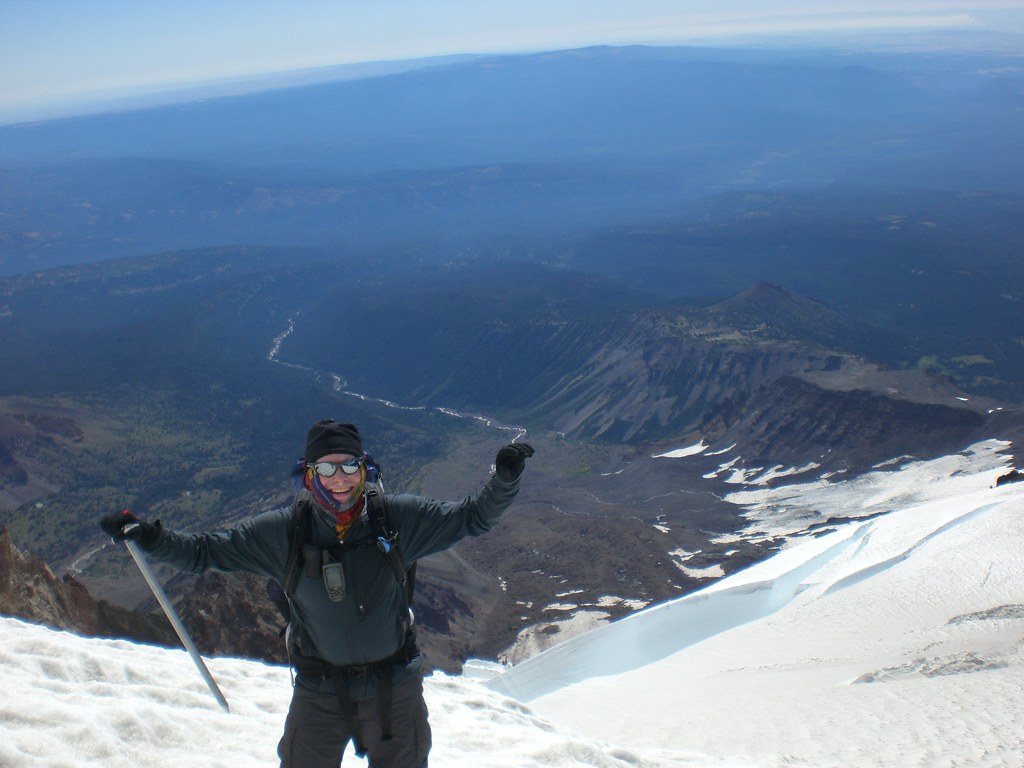
10:30 AM: Summit!
13.5 hours after driving away from signing house papers, we've done it! Proving, again, that with enough Goo brand food-like substance, a magic water stir stick, and some kind of basic determination can push even the fattest climbers...err...something something.
Happiness ensues (and a nap)!
The summit of Mt. Adams isn't as big as Rainer or Baker, but at some point in the past there someone built a building as a fire look out (Forest Service History).
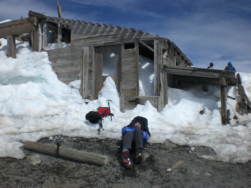
It was later used as headquarters for a mining operation in the summit crater.